Field GIS
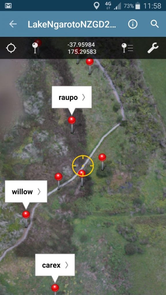
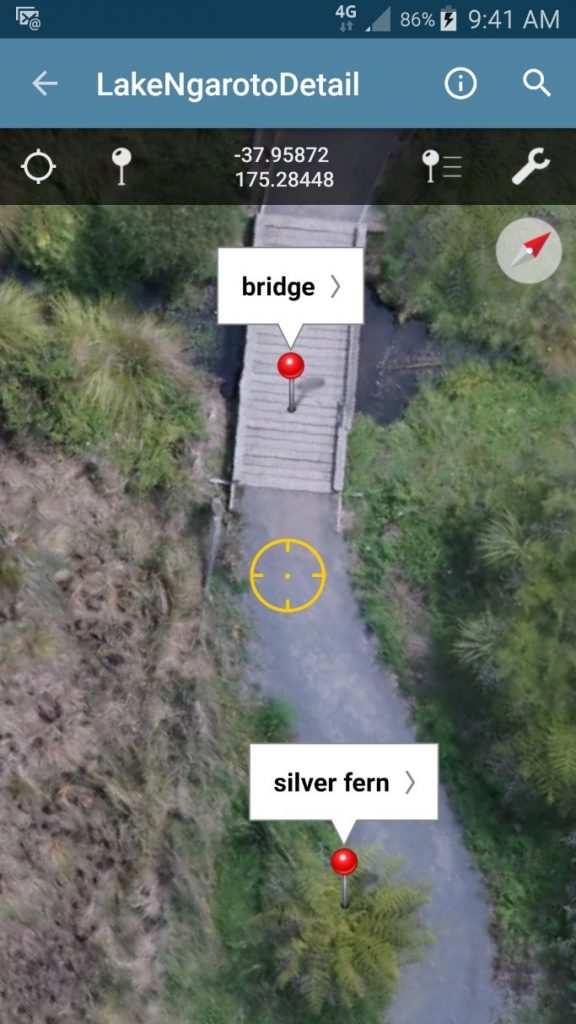
High-resolution and up-to-date orthomosaics can be taken with you into the field on your smartphone or tablet. A database of your project can be set up and linked to your field device, so when data is collected it can be updated directly. You can mark waypoints and draw polygons over your orthomosaic, track where you are, attach photos and add notes. An orthomosaic in a field GIS device is a powerful interactive tool.

Screenshot of a smartphone using an orthomosaic in the field to record data about the site.

Utilising the high resolution of an orthomosaic for detailed aerial views in the field. The field person is standing at the circle.
