Aerial photo-points
As ecologists, we often use photo-points on the ground to monitor changes in an area over time. Aerial photo-points from drones record the exact position, altitude, compass bearing and tilt of the drone camera for repeating images over an area.
The Living Water project were involved in a wetland restoration site at Miranda, where we captured several repeatable aerial photo-points.

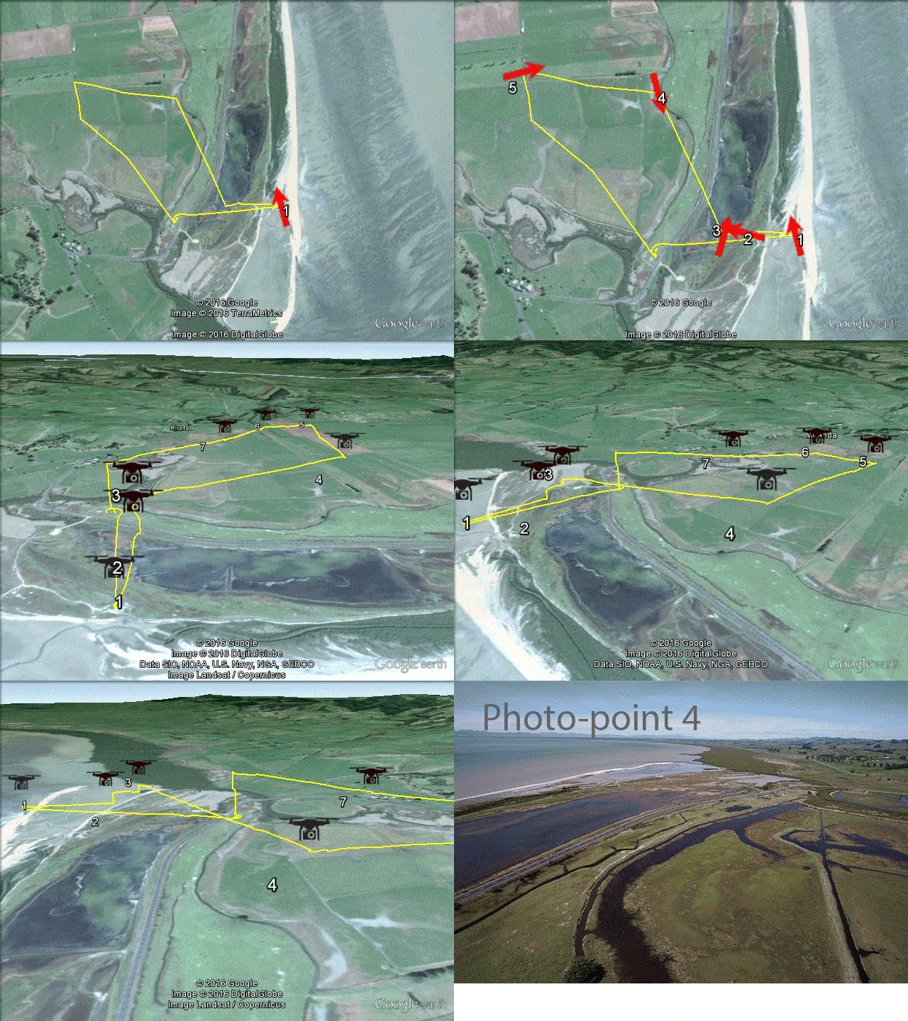
The drone flight path (yellow), photo-point locations and directions (red arrows) and example photo-point view (photo-point 4).

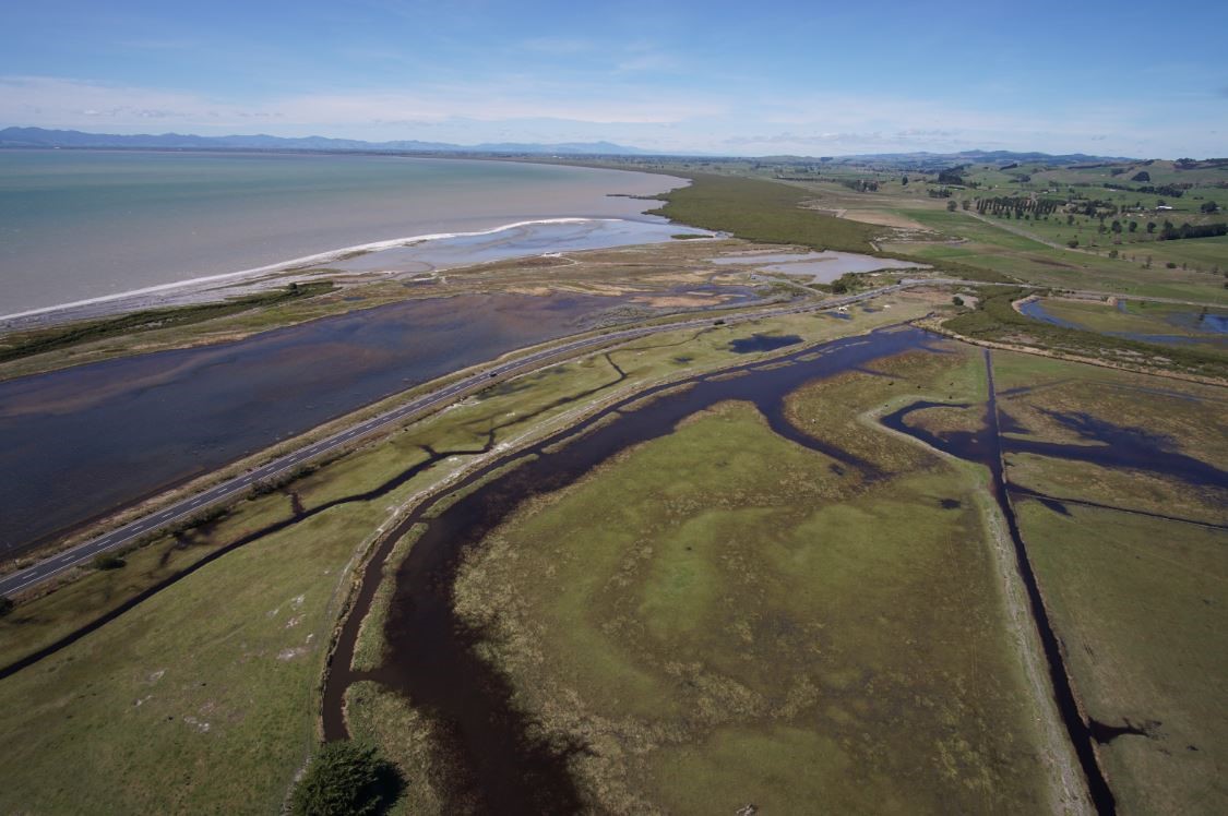
Aerial photo-point 4 from the flight above.
